Getting Around
Making your way around Manitou Springs is a breeze on the free shuttle, including getting from our overflow parking at Hiawatha Gardens to the Cog.
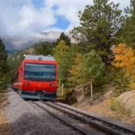
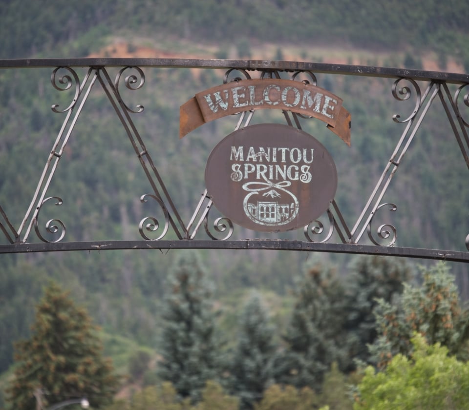
We’re lucky at the Cog, we always know we’re on the right track. But other times, getting from point A to point B isn’t always as clear. You’ll find us in the heart of the Pikes Peak Region in Manitou Springs, just six miles west of Colorado Springs. Manitou Springs is easy to get to and even easier to love. Here are some local area maps and directions to help you get to your next adventure.
Take I-25 South
Exit 141 to Hwy 24 West/Manitou Springs
Continue 4 miles to the first Manitou Avenue exit
Take I-70 West to exit 359 (Limon)
Take Highway 24 West to Colorado Springs
Merge I-25 North to Denver/Manitou Springs
Exit 141 to Hwy 24 West/Manitou Springs
Continue 4 miles to the first Manitou Avenue exit
Take I-25 North
Exit 141 to Hwy 24 West/Manitou Springs
Continue 4 miles to the first Manitou Avenue exit
Take I-70 East to exit 203, CO-9 South, Frisco
Follow CO-9 South /Hwy 24 East toward Colorado Springs
Take the exit for Manitou Ave (US-24 Business)
Making your way around Manitou Springs is a breeze on the free shuttle, including getting from our overflow parking at Hiawatha Gardens to the Cog.
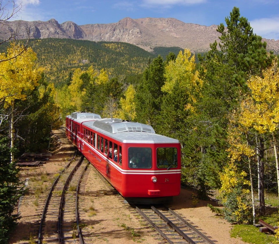
You’re not in Kansas anymore. Up on the mountain, the weather can change quickly without warning, even in the summer, and temperatures on the summit average 20 degrees lower than down below at the trailhead, so it’s best to plan ahead to make the most of your adventure.