• A couple biking over a bridge in Colorado Springs

    Biking

    The Peak Experience

On A Roll

The best of both worlds, an unforgettable Cog journey up and a breathtaking ride down. But that’s not the only option. In the Pikes Peak region, you’re surrounded by bike paths and side streets that are ideal for road biking, and if it’s mountain biking you’re looking for, you’ve definitely come to the right place. We’ve got endless mountain trails that do nothing but climb up, then of course, give you a thrilling ride down.

    A family on a mountain with bikes
    Pikes Peak Summit sign
    mountain peaks

Broadmoor Outfitters

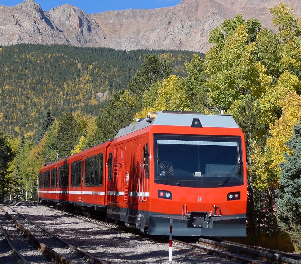
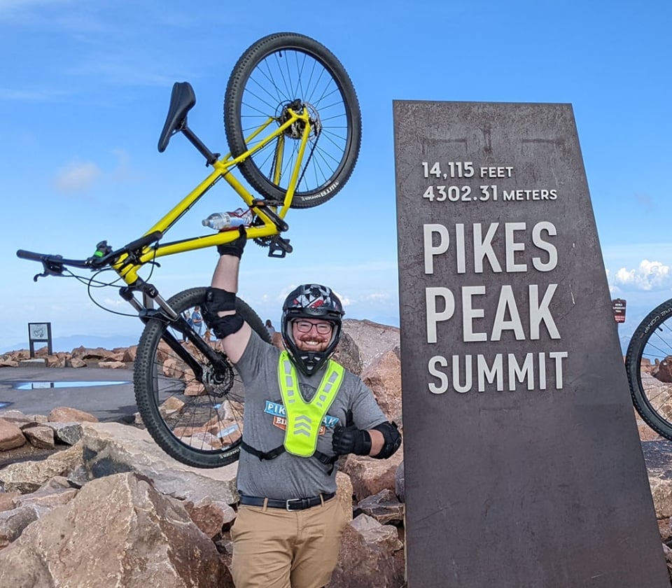
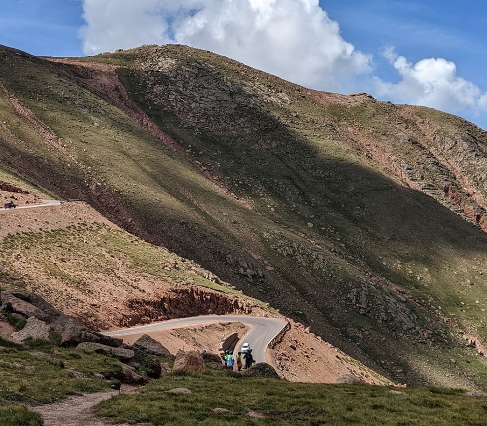
Cog Up/Bike Down, a 19.5-mile downhill adventure from the summit of the country’s most famous mountain, Pikes Peak. You’ll travel up to the top of Pikes Peak on the Cog but to round out your adventure, you’ll roll along down the winding scenic Pikes Peak Highway from the summit. This guided ride offers some of the most sweeping views of Colorado’s magnificent rugged mountain landscape you’ll see anywhere, and an exhilarating feeling you’ll never forget.

Trip Time: 5 Hours

Departure: Trips depart from Broadmoor Outfitters booking office, 6 Lake Ave., Colorado Springs
Includes: all necessary equipment and transportation.

Book Now

Road Biking in the Area

Discover a number of bike paths and side streets that are ideal for road biking in Colorado Springs, especially in mid-afternoon. Due to our temperate climate, roads can be ridden year-round EXCEPT after heavy snows, which usually clear after three full days of sunshine.

Just to the east of Colorado Springs you’ll find a number of small roads that stay dry all year long where you can log some serious miles. Check out Mapquest or Google Maps to find these roads: Squirrel Creek Rd., S. Peyton Highway, Hanover Rd., Old Pueblo Rd., or Link Rd. Or head west of Colorado Springs to Woodland Park and ride Highway 67 to the town of Deckers.

Garden of the Gods

An incredible ride offering not only an exhilarating workout, but fantastic views of the rock formations and city below. All of the roads in the Garden of the Gods area are accompanied by a bike path.

View Garden of the Gods Map

Air Force Academy

Road bikers will want to check out this 12.5-mile loop and check out the iconic sights of this beautiful campus. Just remember, you MUST have a valid photo ID to get on the Academy grounds.

View Air Force Cycling Team Map

Train on tracks with mountain views

Know Before You Go

You’re not in Kansas anymore. Up on the mountain, the weather can change quickly without warning, even in the summer, and temperatures on the summit average 20 degrees lower than down below at the trailhead, so it’s best to plan ahead to make the most of your adventure.